
There is already a couple of blogs that document my latest
hike. Check out Craig's and Eldon's accounts. Both are better writers than I am. If you want the nutshell version of
the story, I’ll try to be succinct. If you don't feel like reading this do yourself a favor and skip down to the bottom and at least read the poem by Jim Clark.
Craig got contacted by the Forest Service about scouting Agua Blanca Creek. The FS had some sort of deadline they had to meet, so the trip had to be done in the summer heat. We would get the benefit of FS access i.e. we could drive past the locked gate at Tar Creek and drive almost all the way to Dough Flat ( two miles saved) and we would have access to the FS road that goes to Kester Cabin where AB and Piru Creek meet (a seven mile walk otherwise).
 Hiking in the heat
I really wanted to do this hike, so against by better judgment I signed up. My reasons for going? Well I’ve tried to find Saddle Skirt Camp twice before with no luck. Also, I would especially like to get to Cove Camp. Cove is one the most remote campsites in the entire Los Padres. I would like to be one the few people who have been there. And if we made it to Log Cabin Camp it would mean I have hiked from the 33 all the way to Piru (over various hikes). My reasons for not going, the heat. Hiking in the Los Padres in the summer is miserable. If you can’t find water, you’re going to have a bad time. I was assured that there would be water in the Agua Blanca once we reached Ant Camp. I kept my eye on the weather forecast as our trip approached. The high temps were predicted to be 97F. I told Craig we were all going to die, but I didn’t back out.
 Squaw Flat
 The Bucksnort Juction
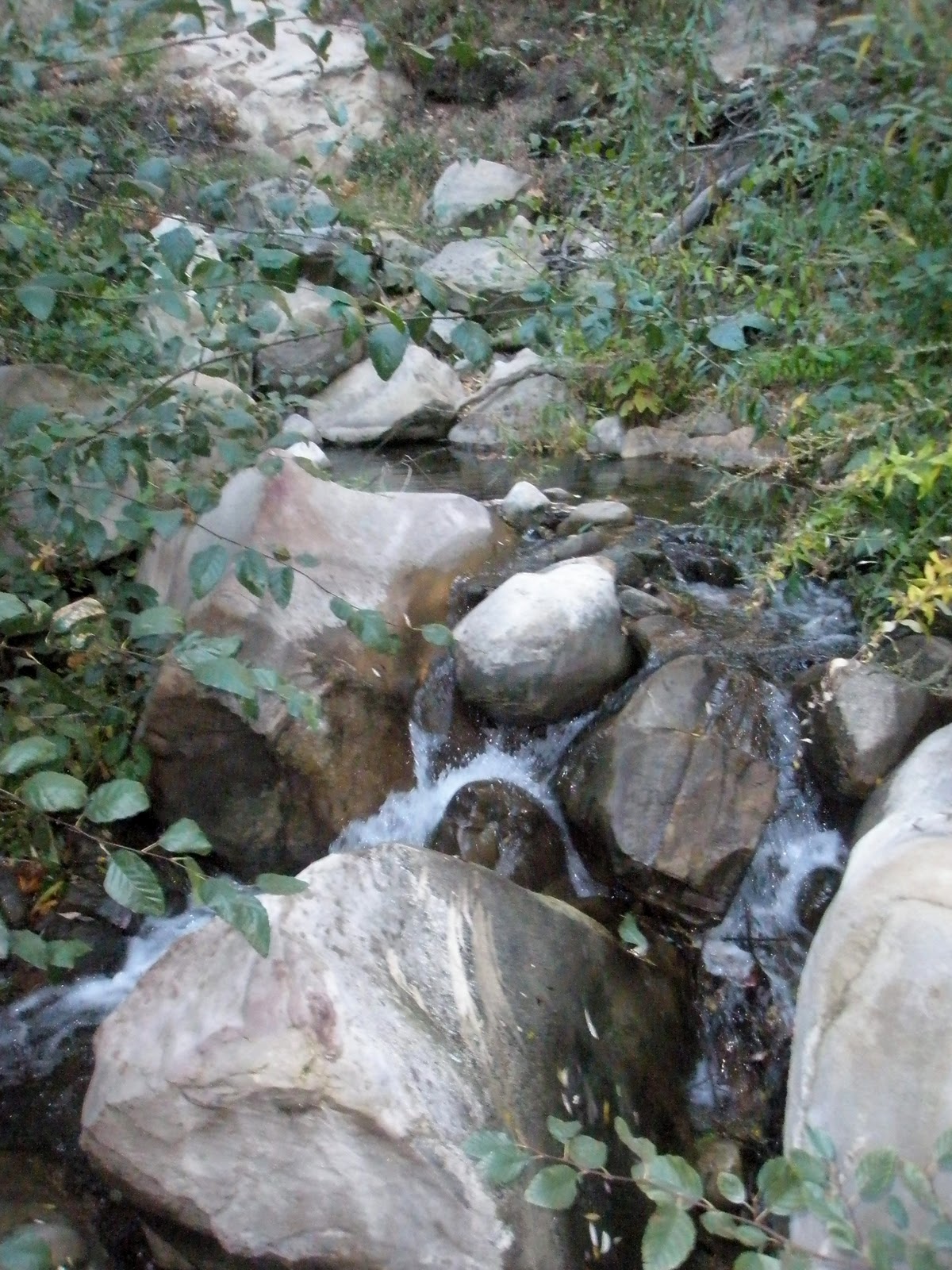
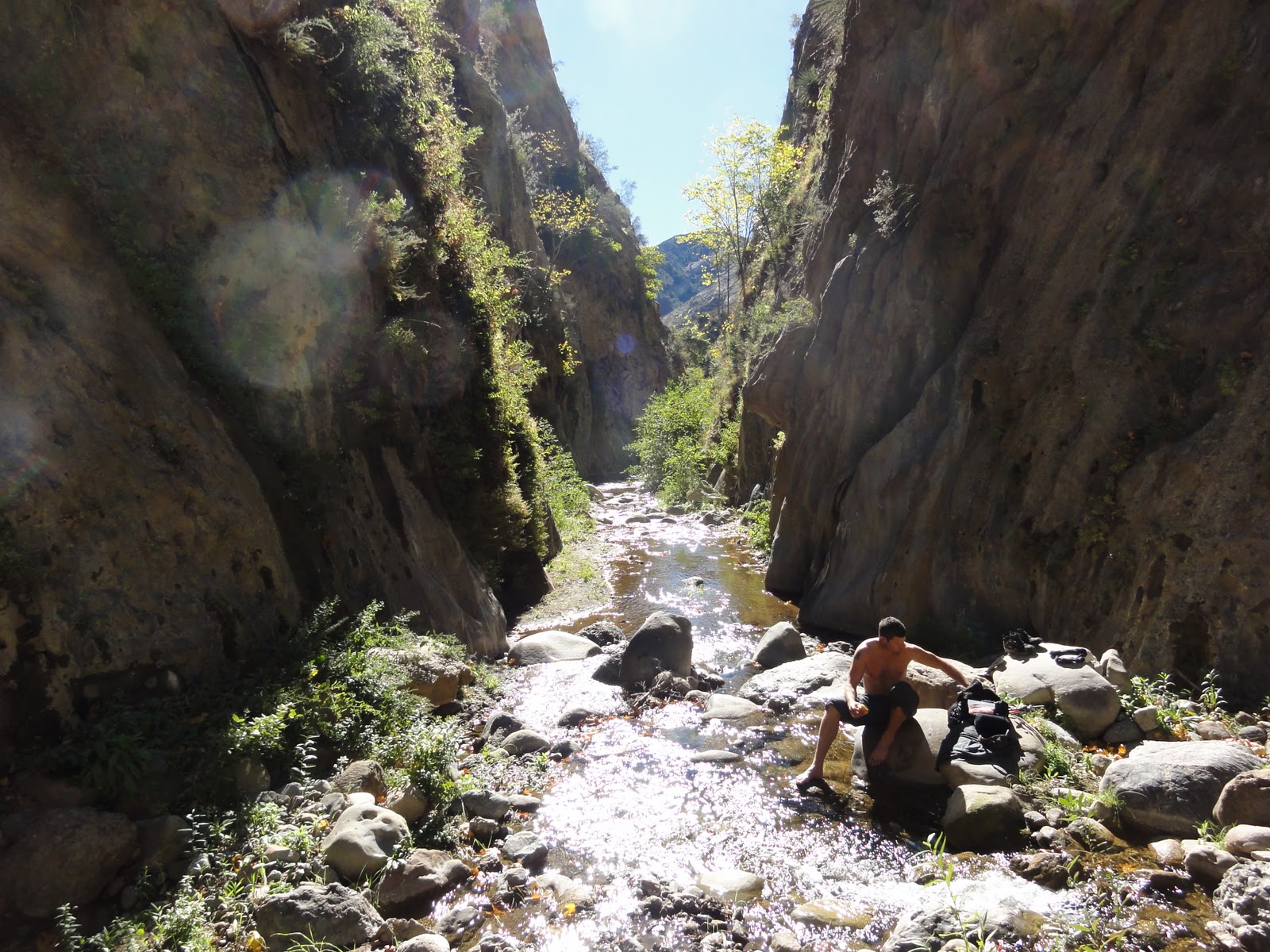
When we got started hiking from Dough Flat it was already hot. How hot was it? It was so hot the trees were looking for shade. I’ll be here all week, folks. When we made it to Squaw Camp (45 minutes from start) we had to take a break. When we got to Bucksnort Spring, Craig was overheating, and I was beginning to question the sanity of going further. But it’s all downhill after you reach Bucksnort, and there was that promise of water at Ant Camp. After a good rest we hoofed it down to Ant Camp. I got there first and immediately grabbed my water filter and headed to the creek. All I was thinking was, "Please let there be water, please let there be water." I got to the creek and... it was bone dry. This was not good. The creek bed was sun-bleached, there hadn't been any water here in a while. I was so angry at the Forest Service for sending us on this fucking trip. I went back to the camp and told the others the shituation. Between the six of us we had 3 litres of water, also not good. Ned said he would look upstream for some water and Nico volunteered to go down stream. Ned came back shortly and said he found a patch of damp ground that we might be able to dig out for some water. About two hours after he left Nico returned... with water! He told us he had found a nasty puddle some ways down creek. As a group we decided that this mission was over. Our only goal now was to get the fuck outta here. We would take this water, wait for night fall, and then head back to Dough Flat in the cooler temperatures of the early morning. Ned, Johnny and I went downstream to gather as much more water as we could. Just a bit past the old Tin Can Cabin site we found the water. It wasn't much, maybe inch or two deep, lots of bugs, but man I was glad it was there. The sun had gone down before we started back to camp so we had to find our way back using headlamps. When we got back to camp Craig made some food, but I just wanted to drink. We were all pretty tired, so we settled down for some sleep before the climb out.
Craig got contacted by the Forest Service about scouting Agua Blanca Creek. The FS had some sort of deadline they had to meet, so the trip had to be done in the summer heat. We would get the benefit of FS access i.e. we could drive past the locked gate at Tar Creek and drive almost all the way to Dough Flat ( two miles saved) and we would have access to the FS road that goes to Kester Cabin where AB and Piru Creek meet (a seven mile walk otherwise).

I really wanted to do this hike, so against by better judgment I signed up. My reasons for going? Well I’ve tried to find Saddle Skirt Camp twice before with no luck. Also, I would especially like to get to Cove Camp. Cove is one the most remote campsites in the entire Los Padres. I would like to be one the few people who have been there. And if we made it to Log Cabin Camp it would mean I have hiked from the 33 all the way to Piru (over various hikes). My reasons for not going, the heat. Hiking in the Los Padres in the summer is miserable. If you can’t find water, you’re going to have a bad time. I was assured that there would be water in the Agua Blanca once we reached Ant Camp. I kept my eye on the weather forecast as our trip approached. The high temps were predicted to be 97F. I told Craig we were all going to die, but I didn’t back out.


When we got started hiking from Dough Flat it was already hot. How hot was it? It was so hot the trees were looking for shade. I’ll be here all week, folks. When we made it to Squaw Camp (45 minutes from start) we had to take a break. When we got to Bucksnort Spring, Craig was overheating, and I was beginning to question the sanity of going further. But it’s all downhill after you reach Bucksnort, and there was that promise of water at Ant Camp. After a good rest we hoofed it down to Ant Camp. I got there first and immediately grabbed my water filter and headed to the creek. All I was thinking was, "Please let there be water, please let there be water." I got to the creek and... it was bone dry. This was not good. The creek bed was sun-bleached, there hadn't been any water here in a while. I was so angry at the Forest Service for sending us on this fucking trip. I went back to the camp and told the others the shituation. Between the six of us we had 3 litres of water, also not good. Ned said he would look upstream for some water and Nico volunteered to go down stream. Ned came back shortly and said he found a patch of damp ground that we might be able to dig out for some water. About two hours after he left Nico returned... with water! He told us he had found a nasty puddle some ways down creek. As a group we decided that this mission was over. Our only goal now was to get the fuck outta here. We would take this water, wait for night fall, and then head back to Dough Flat in the cooler temperatures of the early morning. Ned, Johnny and I went downstream to gather as much more water as we could. Just a bit past the old Tin Can Cabin site we found the water. It wasn't much, maybe inch or two deep, lots of bugs, but man I was glad it was there. The sun had gone down before we started back to camp so we had to find our way back using headlamps. When we got back to camp Craig made some food, but I just wanted to drink. We were all pretty tired, so we settled down for some sleep before the climb out.
We got up around 1:30 in the morning. We packed up and headed out of camp and up the hill at 3:00. Around 4:00 we stopped and took a rest. As we sat there we watched meteors streak across the sky. This was the only enjoyable part of the entire trip for me. After that we slogged out the rest of the hill. The sun started peeking up over Hopper mountain as we making our way toward Squaw Flat. By the time we made it to Dough Flat it was sunny and hot as hell again. Craig and Ned took off to grab the vehicles and the rest of us rested in whatever shade we could find (or make). Soon enough Craig rolled up and we headed back to civilization. We stopped and got Mexican food and drinks with ice, lots of ice. After that we headed home. So to sum things up, this trip sucked. However, I will probably try it again some time in the future. It'll be at a time of my choice though, that's for sure.

Ned's dad, Jim Clark, wrote this fantastic poem about our adventure. Much thanks to him for this gem.
AGUA BLANCA
I’ve a tale to tell
of a hike from hell,
Of hikers who truly
know better;
Including son Ned,
who ‘fore leaving said,
“It’s hiking, not
riding mule weather.”
This hike’s a
request, from Los Padres’ best,
To check out some
trails and old camps;
Leader Craig Carey,
responded fairly,
Let’s wait ‘til it
turns cool and damp.
Replied headquarters,
“those are your orders,
We need it ‘fore
September ends;
In this fiscal year,
your tale shall appear,
Though we shall pay
you NO stipend!”
So gathered the crew,
(the ‘fore mentioned two),
Plus Jonny, Eldon,
Eric and Nick;
Craig writes books
and blogs, Eldon, expat photog,
Jonny’s a teacher and
takes pics.
Nick’s the best
hiker, Ned, horseman, biker,
Eric blogs, “County Canyoneering”;
And this group, you’d
say, on this year’s worst day,
Would choose not
hiking, but “beering”.
Ninety-four the stat,
when they left Dough Flat,
A thousand foot climb
without shade;
Though Squaw Flat was
dry, as Bucksnort drew nigh,
A cool spring sip
they’d have it made.
The spring’s dried to
scum, and all the six chums,
Scoffed choosing the
creek down at Ant;
The Agua Blanca,
fills the barranca,
And a pool awaits us
extant.
By yuccas frizzied
and heat stroke dizzied,
The last drops of
water sustained,
‘Til camp where they
saw, no pool in the draw,
Not a drop to drink
‘til it rained.
Ned checked upstream,
just found a bad dream,
Of horse nettle and
poison oak;
And so Nick carried,
hopes of heat harried,
His five mates
approaching sun stroke.
With two hours gone, the
boys settled on,
Another fifteen
minute wait;
‘fore leaving their
perch, and starting in search,
Of the lost comrade
and his fate.
Then Nico appeared,
with better than feared
Reported a small sad
bug pool;
They filtered his
brew and then three set to
With filters and
bottles and tools.
The tired scout
confessed, the trail was a mess,
And Craig said “take
flashlights to see”;
Off the three muddled
seeking the puddle,
In the creek choked
with willow trees.
A line was set up,
Ned, using a cup,
Poured it into
Jonny’s kerchief;
Screened out the
jigglers, crawlers and wigglers,
And Eric had the
filter brief.
With all bottles
filled, an hour uphill,
Through brush,
willows and poison oak
Upstream they’re
tramping, worn out and cramping,
And no place at Ant
for a soak.
Then they saw headlamps
lighting the home camp,
Craig heated freeze
dried in a pail
Then the benighted,
six zip decided;
To turn back o’er
three Fat Tire Ales.
They left Ant at
three, used headlamps to see,
Told Eldon, he’d
better not fall;
They’re too tired to
rescue, he’d be food for fescue
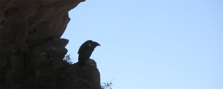
A condor feed fest
free for all.
Back at the trail
head, Craig Carey and Ned,
Drove Ned’s car back
to Lake Piru;
Called Dispatch to
say, that they were OK,
And asked them to
tell Heidi too.
For she planned to
seek, a meet in the creek,
With them near the
end of their trek;
Dispatch dropped the
ball, said nothing at all,
To Heidi about their
train wreck;
To sum up I fear, the
moral is clear,
A twice bitten
hiker’s a fool;
Should he venture
out, though wise horsemen shout,
“It’s too frigging
hot for a mule!”