Showing posts with label Middle Sespe. Show all posts

Monday, March 7, 2011

03-05-2011 Tar Creek

Hopper Mountain

Frank, Justin, and I decided that another trip to Tar Creek was in order. So we headed out to Fillmore, powered up on waffles, and drove up the road to the trailhead. Right off the bat we found a rather large hole in the trail.

Watch out for C.H.U.D.S

The hike down to the cascades was nice. The water level is still pretty high. It was a cold 48.3F when I measured it.


When we got to the 70ft falls we saw a group of canyoneers rigging up to rappel the falls. I went over and was happy to find out that they knew to remove their webbing when they were done. We watched them make the short rap of about 30ft I'd guess.


Then we took the walk around, and proceeded to the larger bottom falls. I was pleasantly surprised to find that there wasn't any webbing left behind at the bolts at the big falls.

The Final Pool

Pretty soon the group made their way down to us. They rigged up, and started rapping down the 120-130ft to the shallow pool below. Frank and Justin took the walk around trail, and snapped some pictures of the canyoneers.


When they were all down I untied their webbing. I packed it into a water bottle their group leader had left with me. Sorry, I couldn't fit the rapide into the bottle, so I just fixed it to a bolt. Then I tossed the bottle down to the group. If any of you wants to see more pictures just contact me through the blog.

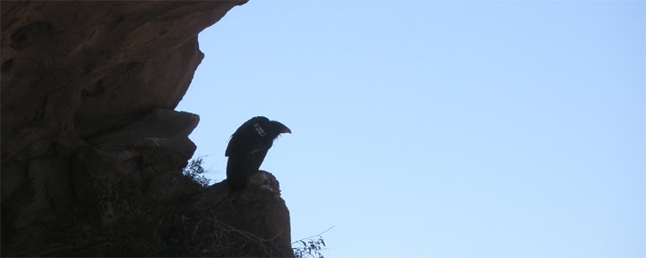
The three of us sat around for a little bit more. It was a really nice day. Just like my last few trips down Tar Creek, we didn't see any condors. Recharged, we hit the trail back up the canyon.


Just upcreek of the cascades we ran into a large group of under-prepared looking people. I saw a guy wearing just a pair of Crocs for shoes (he was rubbing his sore feet). And I saw more than one person that looked like they had just hand-carried a (now empty) Vitaminwater bottle as their sole source of fluids. I hope everybody made it out okay.


It took me 43 minutes to get up the big hill, five minutes off my best time. Here's a picture of Topatopa Peak (the real one) if you look closely you can see the frame of the lookout tower that burned up in the 2006 Day Fire.

Monday, January 10, 2011

01-08-2011 Briggs Canyon


Last April, Megan, Mike, and I did a short exploration hike up a no name creek near Beaver Camp. Ever sense then I've wanted to go back, and explore some more. So Frank, and I prepared for a day-hike, and drove up the 33 to the Middle Sespe trailhead. For some reason (not thinking mostly) it didn't even occur to me that there might be snow up there. Soon after we started winding up the 33 past Ojai, we began to see tons of snow that had been plowed off the side of the road. I started cursing myself for not bringing more layers. It turned out to be fine though. Once we parked, and got moving, the actual temperature was pleasant. There was snow all over the ground.


The snow was really crunchy under our boots. The Sespe was flowing pretty briskly. The water temperature was 42F. Carefully we crossed the river. Then we made our way back up the no name creek I had been to before. Thanks to Craig Carey I now know that this creek runs through Briggs Canyon, best of luck finding a map with it labeled as such. Crunch, crunch, crunch, we hiked through the snow. After about half a mile the creek got rocky-er. There were a couple of small waterfalls that spilled into some nice little pools.


There was definitely some bushwhacking, and some stemming involved in getting up the creek. We even had to do a little edge work.

Slow and steady

We got to a narrow section in the rocks that had been frozen over. We got there at just the right time to see the melted water bubbling underneath the ice. It looked like the rock was alive.


As the elevation got higher, the snow on the ground seemed to melt away. Also the flow of the creek got less, and less. There was a small rock where the creek seemed to disappear into the ground.

The headwaters of Briggs Canyon Creek

A few hundred yards more and we were at the top of the creek. To the east I could see the sandstone formations of Rock Creek. But it was just to far away to try and connect to it. Immediately to our west was the before mentioned Rock Saddle. We tried to bushwhack over to it, but quickly lost our motivation.

The Rock Creek Rocks

Rocky Saddle

We found a good sized boulder to rest at. We had traveled a few miles, but from where we stood we could still see the 33 clearly.

As we made our way back I was struck by how beautiful the hike had been. This was one of the most pleasant day-hikes I have ever taken. Once we got past the Sespe we didn't see any signs of people, no trash, no footprints, nothing. On the way back we found a a neat little creek streaming in from the west. It had a interesting little cave.

We got back to the Sespe easily. We crossed the river, and headed back home. I loved this hike, and someday I'll come back and try to finish the loop.

Good Times

Wednesday, April 7, 2010

04-03-2010 Middle Sespe Rocks


I wasn't really planning on doing any hiking this weekend, until Friday evening when Megan asked if I wanted to go anywhere for my birthday. For a long time now I've been curious about the large rock formation that you can see in the distance behind the Middle Sespe trailhead. These formations look a lot like the Piedra Blanca formations that lie a few miles downstream. I've wanted to get back there and look for caves and archeological artifacts. Megan, Mike and I started from the mentioned Middle Sespe trailhead right off the 33. Instead of staying on the trail when it first crosses the Sespe we made our way upstream for little bit before we found a small creek that was flowing from the Northeast. We followed the winding little creek up about half a mile where came to some cool look rocks that were framing the creek. These rocks had some cool caves and depressions in them. A little further on and the terrain open up into a flat plain, that rock formation was further away then it looked from the road. We continued on up the creek until we came to a rocky squeeze. This was supposed to be a easy hike and I didn't want to elevate to a full on exploration mission. At this point the fog was rolling over Ortega hill and falling towards us. We decided that we had a nice time outside but that it was time to head back. We stopped at the Red Barn for some tacos before we went home. Thanks Megan, that was a nice birthday gift.

Sunday, January 17, 2010

01-10-2010 Rock Creek

On a whim we decided to hike the Middle Sespe trail. It's right off the 33, just past the turn out for Rose Valley/ Piedra Blanca. The trail was a bit of a disappointment since the Sespe was quickly out of site. When we got to the Rock Creek junction we decided to head up creek towards some interesting looking rock formations instead of staying on the trail. We went up Rock Creek for a couple of miles before we decided the rock formations were to far away for the schedule we were on, and headed back.

Photos: Blackcrown